Integrated Hydrogeophysical Inversion (08w5051)
Organizers
Laurence Bentley (University of Calgary)
Andrew Binley (Lancaster University)
Ty Ferre (University of Arizona)
Description
Water resources have been identified as the major limiting factor to growth and sustainability in both developed countries such as Canada and underdeveloped countries around the world. While great advances have been made in the use of remote, satellite-based measurement methods to quantify water storage and movement at the Earth’s surface, relatively few improvements have been made to our ability to characterize subsurface hydrologic processes. Managing groundwater resources and remediating contaminated groundwater require mathematical models to predict groundwater flow, quantify groundwater volumes and chemical transport. The models require definition of the physical system geometry, boundary conditions and specification of the values of parameters such as hydraulic conductivity. All of these parameters always are known with significant uncertainty because data are limited in space and time and often also have uncertainty associated with them. This fact has lead to the use of geophysical data to constrain groundwater model parameters. However, geophysical images also suffer from data deficiencies. On the other hand, the state of the groundwater system predicted from groundwater models has the potential of helping focus the geophysical images.
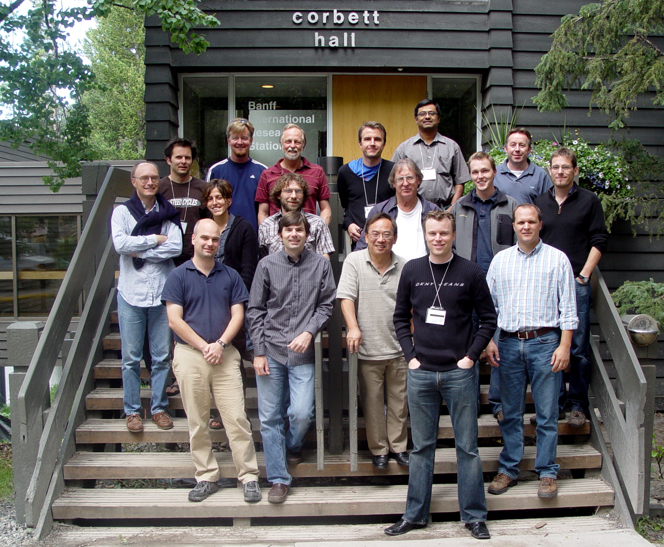
The purpose of the workshop is to bring together hydrogeologic modelors, geophysicists and members of the medical imaging and mathematics communities to address the generalized hydrogeophysical inverse problem. Attendees of the workshop, held at the Banff International Research Station on July 13- 18, 2008, will explore mathematical approaches for simultaneous, joint inversion in which geophysical and hydrogeological parameters (e.g. electrical conductivity and hydraulic conductivity) are predicted on the basis of data derived from hydrogeological and geophysical observations and experiments. The ultimate objective is to improve our ability to characterize and manage groundwater resources.
The purpose of the workshop is to bring together hydrogeologic modelors, geophysicists and members of the medical imaging and mathematics communities to address the generalized hydrogeophysical inverse problem. Attendees of the workshop, held at the Banff International Research Station on July 13- 18, 2008, will explore mathematical approaches for simultaneous, joint inversion in which geophysical and hydrogeological parameters (e.g. electrical conductivity and hydraulic conductivity) are predicted on the basis of data derived from hydrogeological and geophysical observations and experiments. The ultimate objective is to improve our ability to characterize and manage groundwater resources.
The Banff International Research Station for Mathematical Innovation and Discovery (BIRS) is a collaborative Canada-US-Mexico venture that provides an environment for creative interaction as well as the exchange of ideas, knowledge, and methods within the Mathematical Sciences, with related disciplines and with industry. The research station is located at The Banff Centre in Alberta and is supported by Canada's Natural Science and Engineering Research Council (NSERC), the US National Science Foundation (NSF), Alberta's Advanced Education and Technology, and Mexico's Consejo Nacional de Ciencia y Tecnología (CONACYT).